Official Website for Harrison County, Iowa
- Home
- Communities
- Elected Officials
- Offices
- Public Works
- Contact Us

GIS
Contact Information
Second Floor Courthouse
111 N 2nd Ave.
Logan, Iowa 51546
Hours of Operation
Monday - Friday
8:00 am - 4:30 pm
( Please call ahead to ensure the office is open or a staff member
is in office.)
Phone
twegner@harrisoncounty.iowa.gov
About the GIS Department
The GIS Department was created in 2000 to serve the Geographic Information System (GIS) needs of Harrison County. Our goal is to help increase the efficiency and productivity of Harrison County through the implementation of GIS applications and technology.
The GIS Department maintains a large database of digital mapping layers covering the entire county.
In Harrison County's GIS, features such as parcels, municipal boundaries, zoning, land-use, hydrology, roads, bridges, and recreation areas are represented as map features which are linked to a database containing certain essential information.
GIS is used by several county departments, such as the County Conservation Board, the Auditor's Office, the County Engineer, and Emergency Management.
The GIS Department maintains equipment, software and data, and produces hard copy maps to support the use of GIS by county agencies, municipalities and many other local organizations.
The GIS Department also manages the sale of mapping products and GIS data for private and public users.
The GIS Department offers a variety of products and services to the general public, municipalities, civic organizations, school districts and fire districts.
The most commonly requested product is a hard copy color map of a particular area within Harrison County, but digital data is also available.
Data may be requested in hard copy form or digitally via email, online download or in some instances CD—ROM.
A general price list is found below.
For the purpose of cost calculations, units of direct cost for services & materials shall be based on a rate schedule of cost types established by Harrison County.
These rates, upon approval by the Harrison County GIS Department, may change without prior notice. GIS data may be viewed for free by going to Real Estate Map and Data. Please contact the GIS Coordinator for more information about services and specific costs.
Disclaimer
This Data and Maps are provided “as is” without warranty or any representation of accuracy, timeliness or completeness.
The burden for determining accuracy, completeness, timeliness, merchantability and fitness for or the appropriateness for use rests solely on the requester.
Harrison County makes nor warranties, express or implied, as to the use of this Data or Maps. There are no implied warranties of merchantability or fitness for a particular purpose.
The requester acknowledges and accepts the limitations of this Data, including the fact that this Data is dynamic and is in a constant state of maintenance, correction and update.
Size
A (Letter)
B (Tabloid & Tabloid Extra)
C
D
E
Custom
Dimensions
8 1/2 x 11 in.
11 x 17 in. or 12 x 18 in.
18 x 24 in.
24 x 36 in.
36 x 48 in.
any custom size up to 42" wide
Cost
$ 1/page
$ 2/page
$15/page
$20/page
$30/page
$10/foot
Production services include the manipulation of data, designing custom map layouts, and data gathering procedures. Production costs are not applied to the preformatted map products.
Service
GIS Analysis and Labor, Data Extraction and Delivery, CSR2 Processing, etc...
Shipping*
* This is only added if delivery of a product can only be done through non-digital means.
Rate
$50 / hour
Variable
Cost
$50 min.
$10 min.

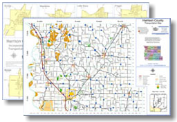
County Maps $2.00 / Printed Copy or

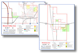
City Maps $1.00 / Printed Copy or
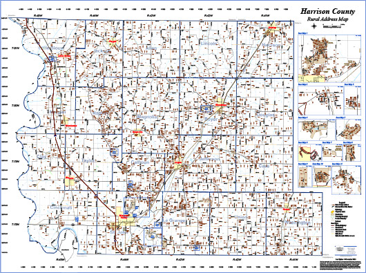
Rural Address Wall Map 36" x 48" - $30.00 ea. 24" x 36" - $20.00 ea.
This county-wide map contains all of the addresses in Harrison County. Insets are included to enhance some of the major subdivisions.
This map is originally formatted for 36" x 48" for optimal quality, but may also
be printed on 24" x 36" with only minor degradation in quality.
The maps included in this website do not represent a survey and are compiled from official records, including plats, surveys, recorded deeds, and contracts, and only contain information required for government purposes. No warranties, expressed or implied, are provided for the data herein, its use or its interpretation. Harrison County assumes no responsibility for use or
interpretation of the data. Any person that relies on any information obtained from this site does so at his or her own risk. All critical information should be independently verified.
Quick Links
Job Opportunities


